Airport Mesa Hike in Sedona
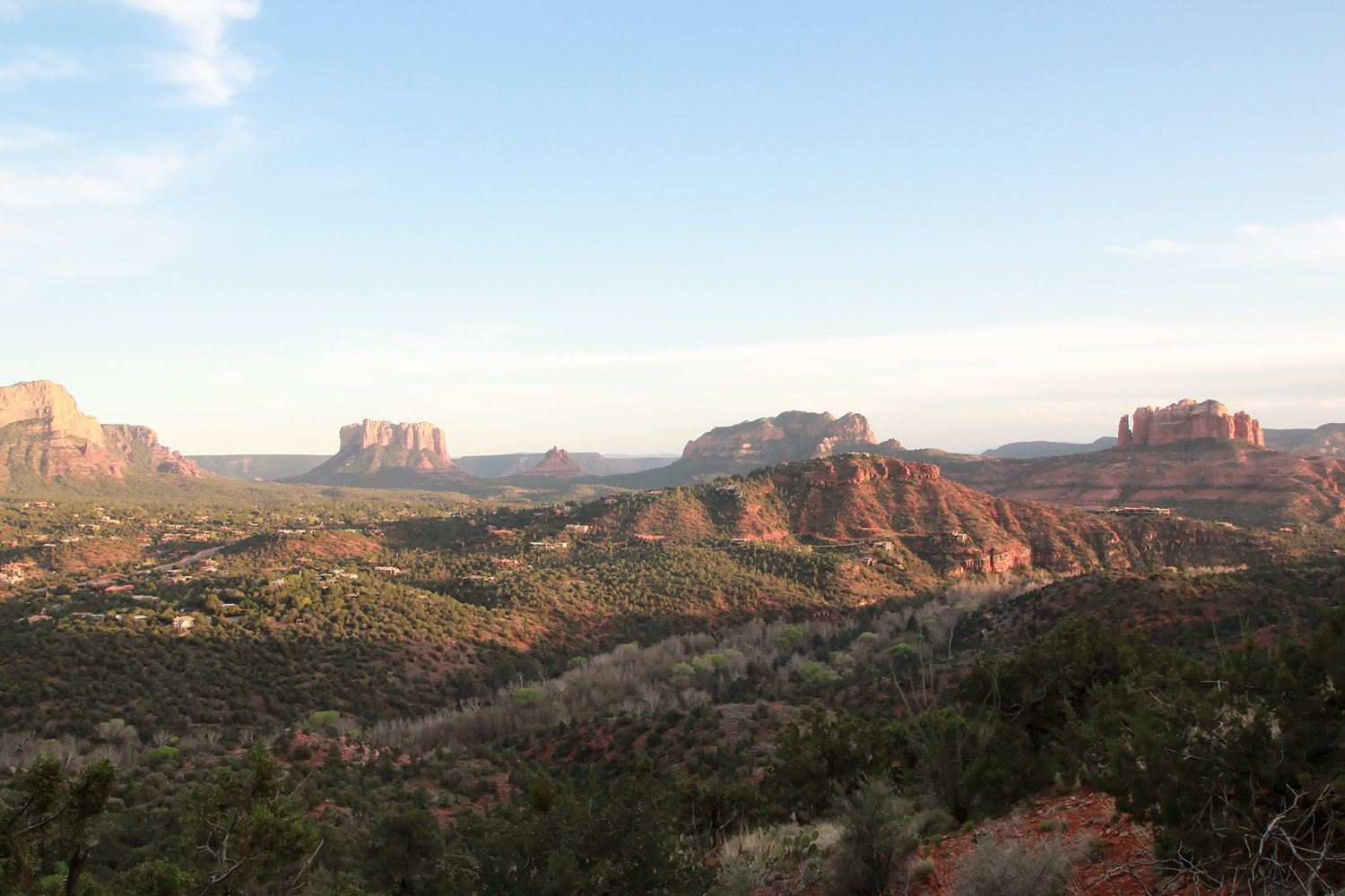
Airport Mesa hike (also known as the Airport Loop Trail) is a picturesque trail right next to Sedona’s airport. During this hike you can see panoramic views of Sedona's best-known red rock formations from the north side. Airport Mesa is one of four vortexes in the Sedona area. Vortexes are thought of as sacred places of healing energy. In this post, I’ll give you the info you need to hike this trail.
Hiking Info
Trailhead location: Airport Rd, Sedona, AZ 86336
Loop Trail Hike: 3.2 miles
Rated: Moderate
Elevation change: 416 ft
Dogs are allowed on this trail but must be on leash
When to go
I recommend doing this hike in the evening in Spring or Fall. As the sun sets it blanketed the mountains in soft light and the cactus needles glow radiantly. Sedona has laws set for no light pollution, so the city gets very dark at night. Bring a headlamp, or plan to get back to your car before the sun falls.
Airport Mesa Hike
The hike begins with a steep drop off to the left so wear shoes with good traction.
Along this hike, there are large patches of green cactus, a stark contrast to the red rocks. Complimentary colors harmonious in nature.
All along the trails are views like the one below of the red rocks towering above the green valleys.
Do you know any other great hikes in Sedona we should try? Please leave them in the comments below.


